
Charting the Digital
Charting the Digital
Charting the Digital is a five-year research programme (2011-2016) funded by the European Research Council (ERC).
For the main project website, see here.
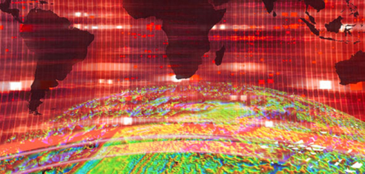
The key objective of this research programme is to investigate to what extent and how digital maps can be considered as new techno-cultural phenomena that have altered our way of being in and moving through our spatial environments. Digital maps allow a greater degree of interaction between users and mapping interfaces than analogue maps do. Instead of just reading maps, users have far more influence on how maps look. Whether a navigation device that adjusts its route-display according to where the driver chooses to go, or a map in a computer-game that is partly created by players, maps have become more interactive and are now co-produced by their users.
With this ERC project we will investigate what this shift entails. We will do this by conducting a comparative analysis of a broad spectrum of digital mapping devices: in relation to (a) each other, (b) traditional cartography and (c) to other media forms that are concerned with mapping and navigation. We want to examine how digital maps can be simultaneously understood as new media, technologies and cartographies. Through a unique combination of perspectives from New Media Studies, Science and Technologies Studies, and Human Geography, this study will draw together these three main theoretical coordinates that ‘make up’ digital maps.
Researchers
Sybille Lammes (PI, Centre for Interdisciplinary Methodologies, Warwick)
Nanna Verhoeff (Media and Culture Studies, Utrecht University)
Chris Perkins (Affiliated, University of Manchester)
Sam Hind (Warwick)
Alex Gekker (Utrecht)
Clancy Wilmott (Manchester)