Unmanned Aerial Inspection Vehicle - News
3D Mapping Video
This is a video I made last week demonstrating the current mapping capabilities of the hexacopter.
To download the higher quality video click here (WMV format)
Project Update
I will be updating the website shortly to reflect the progress that has been made in the last few months.
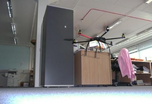
In short, the helicopter can now automatically maintain a set height above the ground using the onboard ultrasound sensor. A video showing one of the early tests can be viewed here
Currently, I am investigating how to use the onboard laser scanner to enable the robot to accuratly maintain the helicopters position as well. More information about this will be available soon.
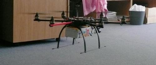
HexaKopter Happily Lifts 1kg
Yesterday, some quick payload tests were carried out to see whether the helicopter could comfortably lift the planned sensor array (estimated to weigh around 700g).
Unfortunately the only thing we had in the office that we could easy to strap to the helicopter and weighed around a kilo was a carton of juice... Very scientific.
The helicopter remained very controllable, stable and only needed about 60% throttle in the hover (so has some spare power left).


