
Geospatial information & mapping

Welcome to our geospatial data and mapping pages. These resources are a mixture of our own user guides, tips and tools and a curated set of externally produced materials that we think are really useful.
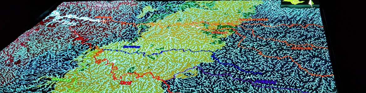
The IGSD research team uses geographic information systems (GIS) and mapping in its research projects. We combine approaches from many disciplines to co-create research with stakeholders for the benefit of the people living in informal communities. We believe in open source and are committed to sharing what we know.